Biomass
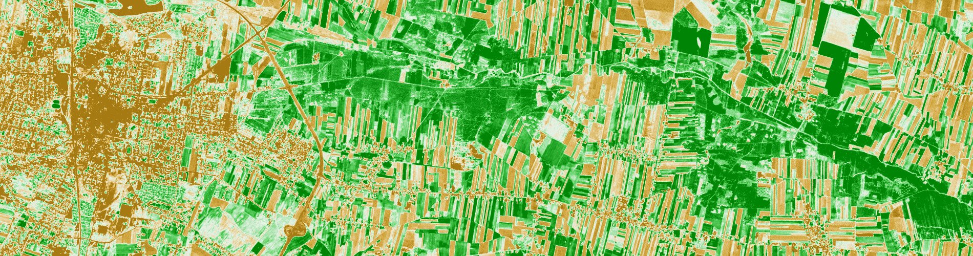
Flooding is a natural phenomenon with strong economic, social and environmental consequences. It brings a constant risk to people in urban and rural areas along rivers and floodplains. Recent years’ severe flood events underlined the requirements for reliable flood modelling tools that enable us to analyse flood events and develop flood protection measures or flood mitigation strategies in the attempt to prevent the losses of human lives and property, as well as to minimise significant destruction of infrastructure and landscape. Flood modelling tools consist of number of input data and parameters.. One of them is roughness coefficient. It affects the calculations of flow resistance and hence it has an impact on the final results of modelling. Transformation in vegetation in the area of modelling during the vegetation season has influence on roughness coefficient. It is not simple to collect biomass changes. Therefore, it is planned to test if satellite based information could be used to analyse biomass growth in the floodplain for the season. Such analysis could be useful to make verification of roughness coefficient for flood modelling. Relative increase in the biomass could be done using Sentinel-2 data.
In order to provide accurate and reliable flood modelling it is essential to prepare high quality inputs and well define the boundary conditions. The main goal of the biomass product development is to demonstrate the relative increase in the biomass in the floodplain for the given season as a complementary type of data that could be used as an input to existing models in an operational flood management system.